The Lyell Fork of the Merced River
The Dana Fork of the Tuolumne River.
The Lyell Fork of the Merced River
A Trail and Cross-Country Route to the Lyell Fork, July 2007
A backpack to one of the most remote locations in Yosemite NP.
This hike travels to the remote Lyell Fork canyon of the Merced River, where Ansel Adams took many amazing pictures. Also, T. Solomons, the originator of the John Muir Trail, traveled to this canyon in the 1800’s while exploring a route for the John Muir Trail, and also took pictures of the canyon.
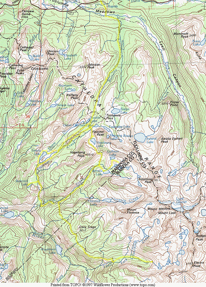
and routes we used. This trip begins at the top of this map.The yellow lines are the trails
Who Should Do This Hike?: This hike is best for intermediate to experienced backpackers who are prepared for travel to very remote places in the Sierra and are in shape enough for cross-country travel and an excessive amount of gains and losses at fairly high altitudes. This is a strenuous hike that can be mitigated by more hiking days and shorter distances between camps (which I will point out). This hike should be done sometime after mid-June in a normal snow year. Due to the remoteness of the destination and the few people that visit this area, this is not recommended as a solo hike.
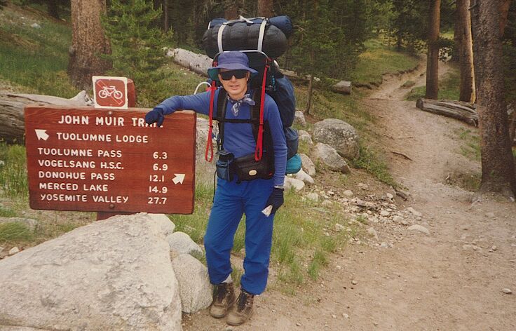
The trailhead in August 1991, the first time I went up that trail, back in the days of external frame packs and monster loads.
DAY 1, 8.8 Miles, 2123 feet of gain and 485 feet of loss to Vogelsang Lake.
It took me four attempts to do this trip. Something always seemed to foul things up and I had to change plans: Rain, not enough time and other reasons. I was determined to make this hike work out and I had made plans and contingency plans and back-up plans and worked everything out to the last detail that I could. Even so, the trip fell slightly short of what I wanted to do, but it was enough. In any case, I am not anxious to do this particular trail ever again, or at least not "soon".
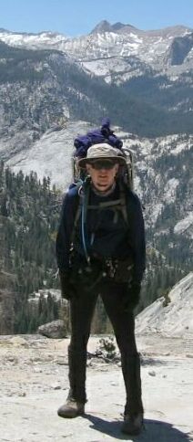
Your guide this trip near "Babcock Dome".
As usual, Dave and I left town early knowing that we had to get to Yosemite in time to get a permit and hit the trail. After an uneventful five-hour drive, we were surprised to encounter no trouble in getting a permit. It was July of a dry year (it seemed like late August), so I expected more backpackers out taking advantage of dry trails. The down side was that the mosquito season had started more than a month early, which may have scared off many backpackers. The upshot was that we pretty much had our part of Yosemite to ourselves (and a few billion mosquitoes).
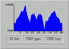
The profile of the whole trip, there and back again.
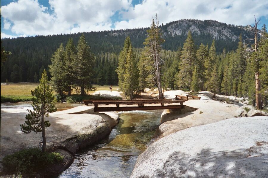
Starting from the backpackers’ parking lot located down the road towards the HSC from the Tuolumne Meadows Wilderness Permit office, we crossed the street to the trail marked by a large wooden trail sign. Paying attention is important along this section of trail because of its many junctions. Make sure you examine the signs carefully to follow the correct route. A map may even come in handy. There tends to be a bit more uphill than you would expect, and it is even worse for uphill coming from the opposite direction after a long hiking day. Pretty soon after a number of junctions passed, we descended a long slope to the picturesque twin bridges of the Dana Fork of the Tuolumne River. This the first true pleasant wilderness viewpoint, which accounts for the usual group of people that collect here to take in the river and meadows of the bridge area. Already we had gained and lost over 125 feet in elevation.